Central America: Countries Printables
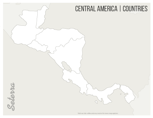
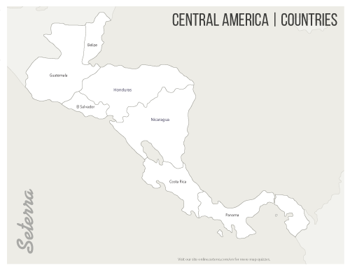
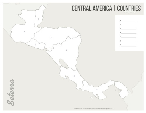
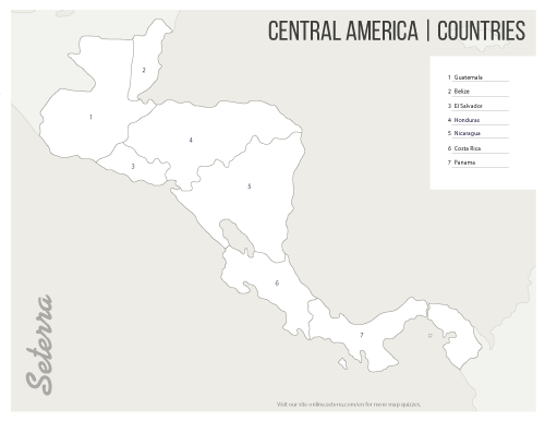
This downloadable PDF map of Central America makes teaching and learning the geography of this world region much easier. Teachers can use the labeled maps of Central American countries as a class handout, and then use the blank maps for a quiz. The downloadable maps are numbered, letting students place the name of the country next to the corresponding number.You can also practice online using our online map games./p>
 Downloaden | 01. Blank printable Central America countries map (pdf)
 Downloaden | 02. Labeled printable Central America countries map (pdf)
 Downloaden | 03. Printable Central America map quiz (pdf)
 Downloaden | 04. Key for printable Central America countries quiz (pdf)
